
Asphalt Testing Machine and Hydrographic Survey Equipment for Infrastructure Projects
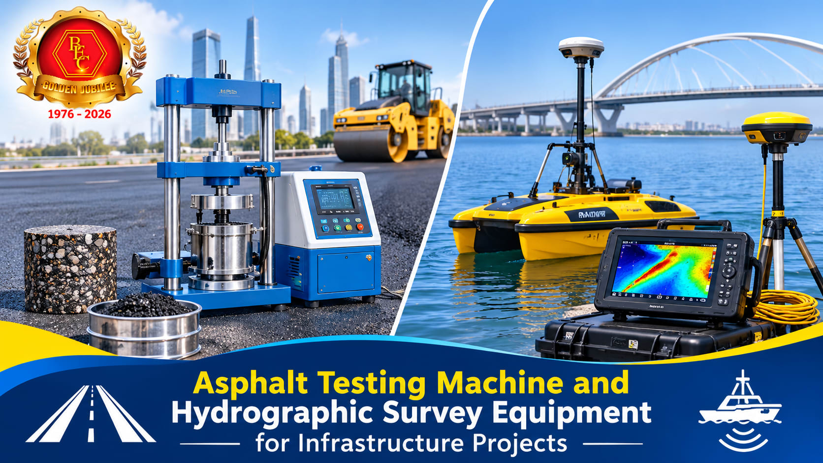
A road can meet its initial design requirements and still deteriorate early if its materials or construction methods fall short. Marine projects face a different challenge: engineers must understand the seabed before they plan dredging, foundations, or navigation channels. Both situations require measurements that reflect actual site conditions. An Asphalt testing machine helps laboratories evaluate asphalt mixtures and assess their suitability for road construction. The results guide engineers when they select materials, review mix designs, and check construction quality. Reliable measurements also help project teams identify potential problems early and make decisions based on evidence rather than assumptions. Testing and surveying serve different purposes, but both contribute to better infrastructure planning. Material testing examines physical properties and performance. Surveying measures the location, shape, and features of an area. When engineers combine these findings with sound design practices, they can plan projects more effectively and manage technical risks. The Role of Asphalt Testing in Road Construction Road surfaces face repeated stress from heavy vehicles, temperature changes, rainfall, and everyday wear. The quality of an asphalt mixture influences how well a road handles these conditions. Engineers therefore test asphalt materials before and during construction. These tests help them assess whether a mixture meets the requirements of a particular project. An Asphalt testing machine supports specific laboratory procedures used to evaluate asphalt properties. Depending on the instrument and test method, laboratories may examine stability, deformation, density, or resistance to particular forms of distress. A stability result, for example, describes how an asphalt mixture responds under a specified loading procedure. It does not, by itself, predict the pavement's full service life. Engineers must interpret the result alongside other tests, site conditions, and design requirements. For example, density measurements can help technicians assess compaction. Poor compaction may leave excessive air voids in an asphalt layer. This can allow water to enter the pavement and contribute to premature deterioration. Stability testing, where applicable, helps assess a mixture's ability to resist deformation under specified loading conditions. However, no single test can predict every aspect of pavement performance. Results depend on sample preparation, temperature, testing procedures, and the properties of the materials involved. Technicians must follow the appropriate standard and maintain their instruments. Regular calibration, documented procedures, and competent staff help laboratories produce consistent results. Road authorities and contractors can use these findings to review material quality and investigate performance concerns. Testing does not remove every construction risk, but it provides useful evidence for quality control and engineering decisions. How Hydrographic Surveys Improve Marine and Coastal Projects Construction does not take place only on land. Ports, harbours, waterways, offshore facilities, and coastal protection projects also depend on accurate measurements. Engineers need to understand underwater depths, seabed features, and changes in water levels before they plan work in these environments. Hydrographic survey equipment helps survey teams collect measurements of underwater terrain and surrounding water conditions. Depending on the survey requirements, the equipment may include echo sounders, positioning systems, motion sensors, and data collection software. Each component serves a specific purpose. Echo sounders measure water depth by recording the return time of sound signals reflected from the seabed. Positioning systems help determine where each measurement occurs. Survey teams combine these observations to develop depth information and seabed maps. A depth survey can reveal where a navigation channel has become shallower or where seabed levels have changed since an earlier survey. Engineers can use that information to assess dredging needs and plan further investigations. They can also help project teams identify underwater obstructions or monitor changes in seabed levels over time. The suitability of hydrographic survey equipment depends on the water depth, required accuracy, survey scale, and environmental conditions. Waves, currents, vessel movement, and water properties can affect measurements. Surveyors must therefore select appropriate instruments and apply suitable calibration and correction procedures. Reliable hydrographic data supports safer marine operations and better project planning. It also helps teams compare survey results collected at different times. This comparison can reveal changes that matter to navigation, coastal management, and infrastructure maintenance. Choosing Suitable Equipment for Reliable Results Selecting testing and surveying instruments requires more than comparing specifications or prices. Professionals should first identify the measurements they need and the standards that govern their work. They should then consider the operating environment, expected workload, required accuracy, and available technical support. For laboratories, an Asphalt testing machine should match the intended test methods and the properties being evaluated. Buyers should review measurement ranges, temperature control where applicable, calibration requirements, and maintenance procedures. They should also confirm that the instrument can support the laboratory's required testing standards.